Research Data
The Highlands Biological Station specializes as both a laboratory and repository for southern Appalachian biodiversity. Researchers who conduct studies at HBS are encouraged to follow our Data Management Policy, which includes making research data available in a timely manner. Click the titles below to access HBS-related data.
Near-Real Time Environmental Sensor Data
Highlands Biological Station has several environmental sensors that are monitoring climate, soil moisture, stream stage, and water quality in Lindenwood Lake. In 2020 we deployed a state-of-the-art Campbell Scientific climate station that includes a tipping-rain gauge bucket, a photosynthetically active radiation (PAR) sensor, a temperature/humidity sensor, an anemometer, and a weather vane. Data from this station are harvested hourly. The climate station also includes a standard rain gauge, which is checked daily during regular work hours. In 2021 we deployed three soil moisture stations that collect soil moisture, soil temperature, air temperature, and stream stage data every 10 minutes; data are harvested daily. Our YSI EXO3 sonde collects dissolved oxygen, conductivity, turbidity, and temperature readings every 15 minutes; data are harvested hourly. Click graph to see real-time weather.
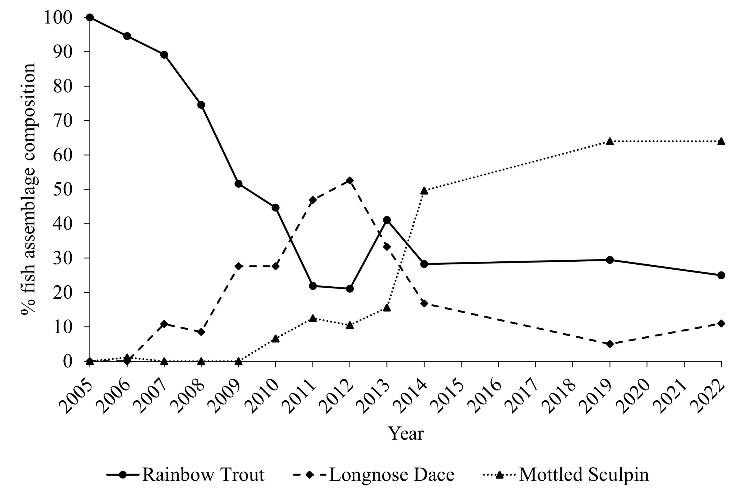
Fish and crayfish density and count data for Peeks Creek, Macon County, NC, USA 2005-2014, 2019, and 2022 following a catastrophic debris flow, as well as six reference streams
PIs: William O. McLarney and Jason R. Meador, Mainspring Conservation Trust; Jason P. Love, Highlands Biological Station
In September 2004, a catastrophic debris flow occurred on Peeks Creek, a second order tributary of the Cullasaja River. From 2005-2014 and in 2019 and 2022, electrofishing surveys were conducted to assess the long-term recovery of fish and crayfish assemblages. Data archived through the Environmental Data Initiative (EDI).
Monitoring Avian Productivity and Survivorship (MAPS) at the Highlands Biological Station
PIs: Mark Hopey, Blue Ridge Bird Observatory; Jason P. Love, Highlands Biological Station, Western Carolina University
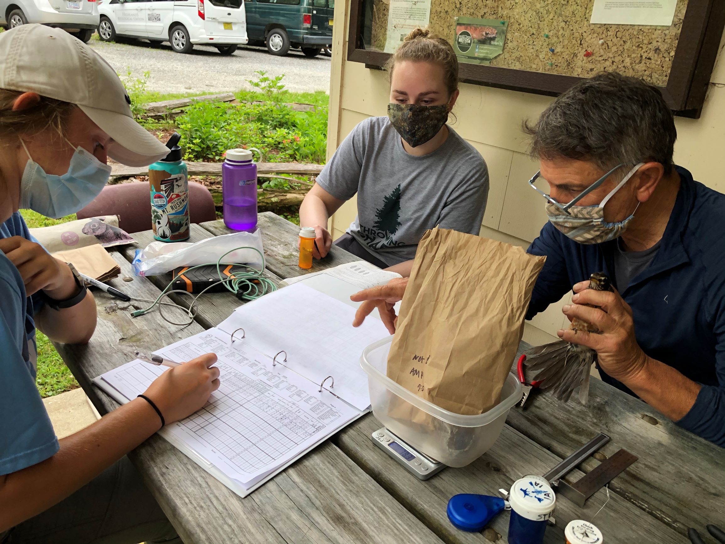
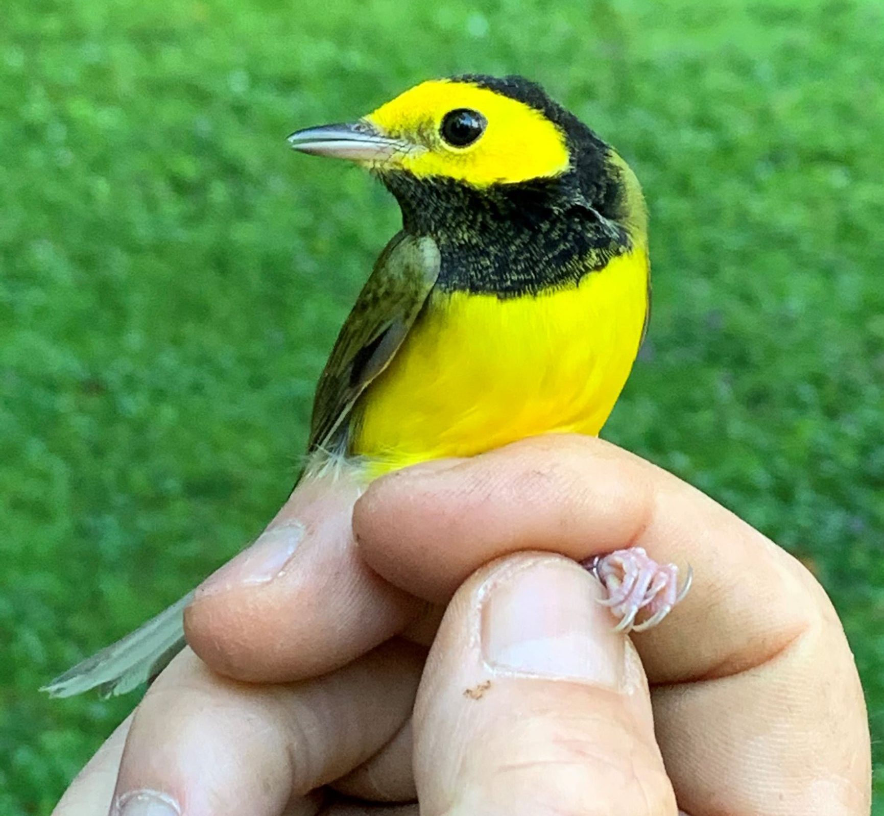
In 2020 HBS partnered with the non-profit Blue Ridge Bird Observatory (BRBO) to establish a MAPS banding station on our 24 acre campus. Funding for the project was provided by the Highlands Biological Foundation. MAPS is an initiative of the Institute for Bird Populations to assess long-term avian demographics by banding and collecting biological information on songbirds throughout the breeding season. Data from the HBS MAPS station are entered directly into the MAPSPROG database. Those interested in accessing the MAPS data should email MAPS coordinator Danielle Kaschube or call her at (609) 892-0445. PDFs summarizing birds captured at HBS during the 2020-2024 banding seasons can be found HERE.
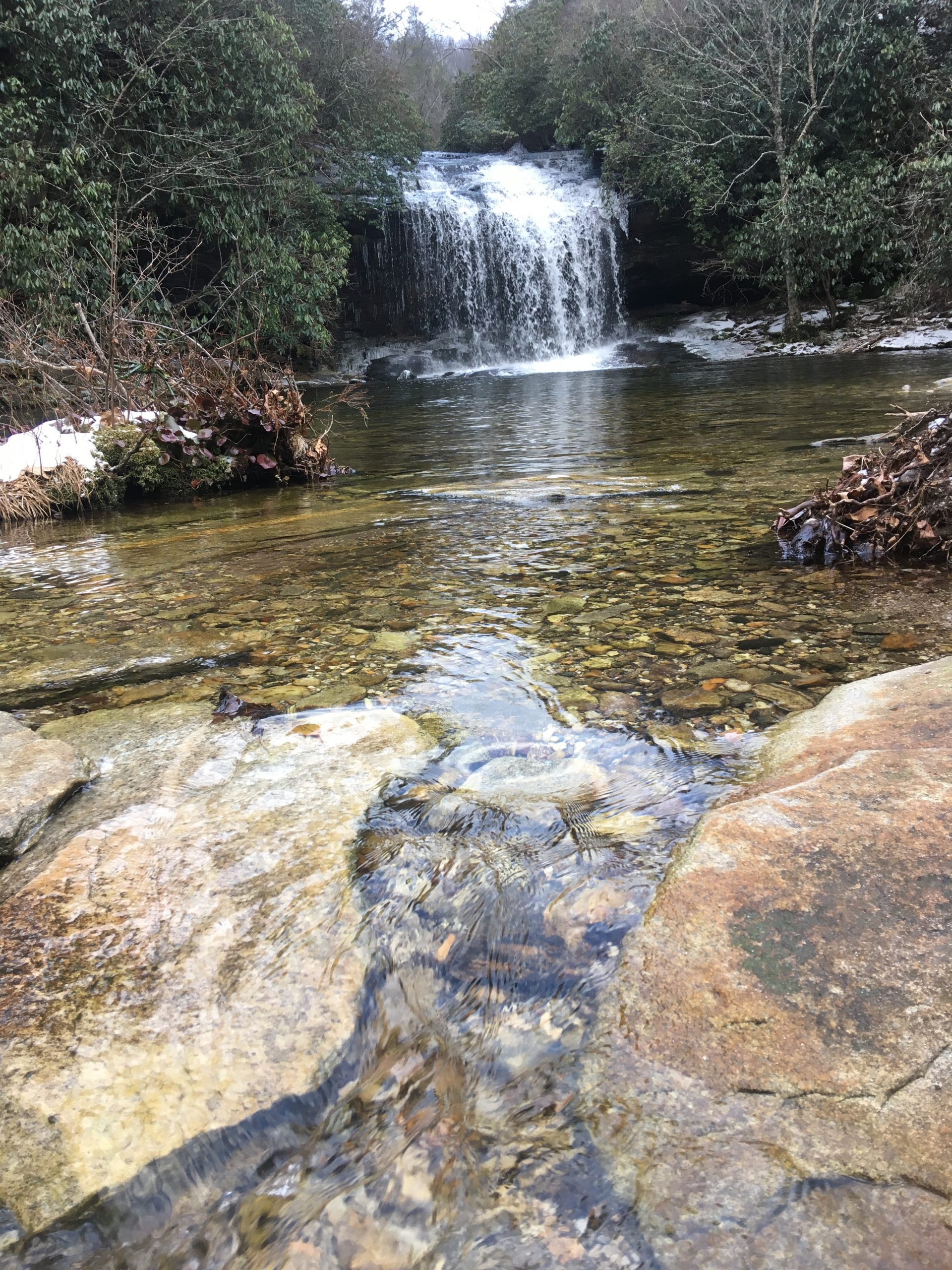
Stream temperatures in the upper Little Tennessee and Chattooga River watershed, Macon County, North Carolina, USA
PIs: Jason P. Love and James T. Costa, Highlands Biological Station, Western Carolina University
In 2020, Hobo Water Temp Pro v2 sensors were deployed in 9 streams in the upper Little Tennessee and Chattooga River watersheds as part of larger monitoring efforts to assess how climate change and anthropogenic disturbances to riparian areas might impact stream temperatures. Data are uploaded annually and archived through the Environmental Data Initiative (EDI).
Databases
A variety of data is collected at Highlands Biological Station, and this is periodically uploaded to various databases. Click on each link below to access this data through the respective databases.
Air Quality
In partnership with Clean Air Carolina, HBS deployed a PurpleAir PA-II-SD air quality sensor that measures real-time particulate matter (PM2.5). This sensor is located just outside the Coker Laboratory. Data can be viewed at PurpleAir – HBS.
Herbarium Data
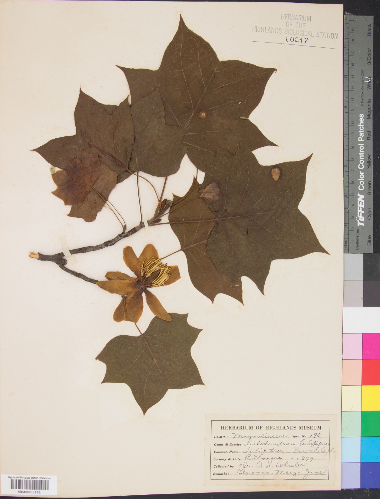
The HBS Herbarium has approximately 3,000 pressed specimens, some dating back to the 1880s. Herbarium specimens have been digitized and the content uploaded to the Southeast Regional Network of Expertise and Collections (SERNEC) as a searchable database.
Climate Data
The Highlands Biological Station was the town’s official U. S. Weather Bureau Station for several decades beginning in 1961. Since December of 1999, an automated climate station has recorded temperature, precipitation, relative humidity, solar radiation, and wind velocity at HBS. Around 2007, we installed a Davis Instruments Vantage Pro Weather Station to document weather at our location. In the fall of 2020, we deployed a state-of-the-art Campbell Scientific climate station that includes a tipping-rain gauge bucket, a photosynthetically active radiation (PAR) sensor, a temperature/humidity sensor, an anemometer, and a weather vane. Data from this station can be accessed here. Below are monthly data summaries from HBS since 1961. Gaps have been filled in with data from the NOAA station.

